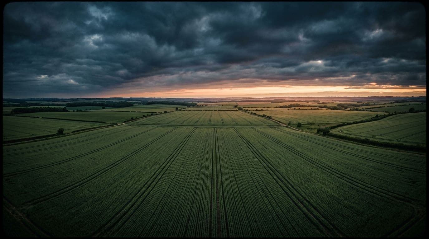
Satellite intelligence for your farm, in words a human uses. No agronomy degree, no forty-tab dashboard, no vibes-based irrigation.
Free to download. No card, no demo call, no one named Chad emailing you.
The platform
Walking every acre is cardio. It is not a monitoring system.
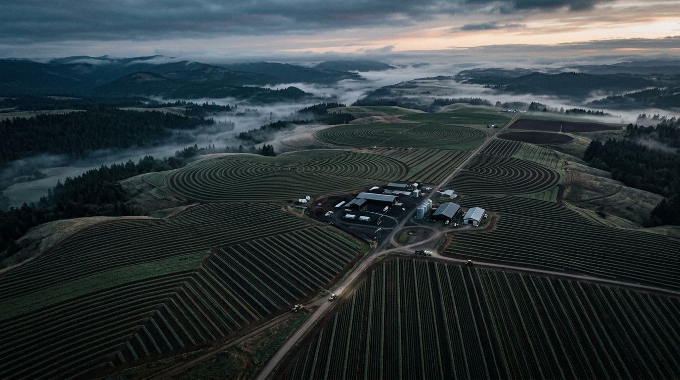
Boots on the ground show you one row at a time, usually a week after it mattered. We read the whole field from orbit in multiple spectral bands, then translate it into something useful, like the northeast corner is thirsty and you have about four days.
See the whole platformWhat it actually does
Three jobs. Done properly.
Satellite crop mapping
Optical and radar passes map every acre on a fixed schedule, clouds or no clouds. Your field gets a checkup even when the weather refuses to cooperate.
Moisture stress detection
Thermal sensors catch thirst weeks before anything looks wilted. Think of it as a group chat where your crops complain early, for once.
Irrigation that makes sense
We tell you which zone needs water, how much, and when. No more soaking forty acres because one sad patch near the road caught your eye.
Go touch grass. We will watch the rest.
Free for five acres, forever. Not a trial, not a hook. It is on Google Play now.